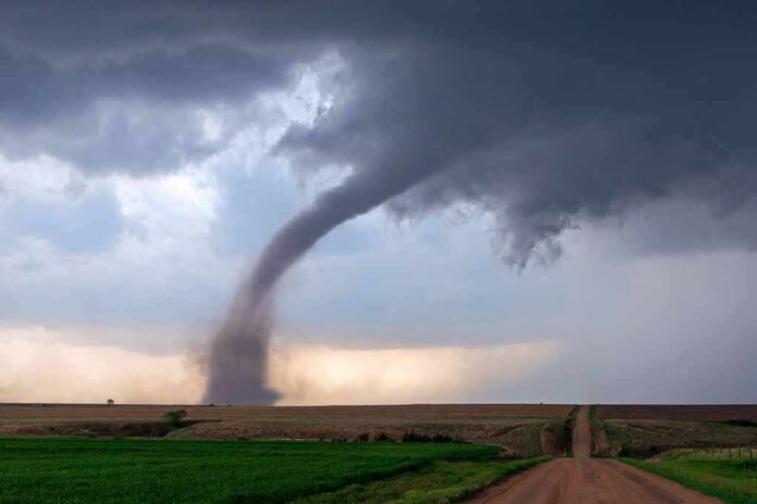
A funnel cloud spun over northern Delaware as storms snapped trees, damaged buildings, and prompted fast National Weather Service action to track what hit and where.
Story Highlights
- Video showed a funnel cloud over northern Delaware as severe storms moved through.
- National Weather Service systems log tornado time, place, strength, and damage using local reports and surveys.
- County storm records show multiple severe wind events in New Castle County during 2023.
- Warning radar often shows rotation before any ground damage is confirmed by survey.
What The Video Shows And Why It Matters
Local video captured a funnel cloud swirling above northern Delaware as severe thunderstorms swept across New Castle County. A funnel cloud signals tight rotation aloft. A tornado requires that rotation to reach the ground and cause damage. Storm days like this often include both rotation on radar and scattered damage on the surface. That is why trained spotter reports, emergency calls, and later surveys all matter. Each piece helps build the official storm record for the county.
Television reports from the region described wind damage to signs, vehicles, trees, and building exteriors in the Newark and Wilmington corridor. Those reports fit a brief, intense wind episode. Broadcasts also noted strong rotation on radar near Wilmington. On-air meteorologists often call out “red next to green” on velocity scans. That pattern marks air moving in opposite directions close together, which can signal a developing tornado and justify a warning to take cover.
How Storms Become “Official” In The Record
National Weather Service offices collect storm facts from several sources and then publish them in federal databases. Local forecast offices log the time, location, magnitude, and impacts of tornadoes, hail, and severe wind. They use damage surveys, emergency manager reports, law enforcement notes, trained spotter calls, media, and insurer data to build the record. The National Centers for Environmental Information hosts the Storm Events Database the public can search by county and date to see what was confirmed.
The Storm Events Database shows New Castle County faced several severe episodes during 2023, including thunderstorm wind near Newark that reached about 50 knots, reported by emergency management officials. Third-party dashboards that summarize the same federal data show at least one confirmed tornado in the county during 2023, along with dozens of severe events. Each entry reflects the best evidence gathered after the storms, not just what radar suggested in the moment.
Why Warnings, Funnels, And Damage Are Not The Same Thing
Forecasters issue tornado warnings when radar shows strong rotation or when a trained spotter reports a funnel or debris. That step is about safety and speed. A funnel cloud means rotation under the storm base. A tornado requires ground contact. Confirming that contact usually takes a damage survey. National Weather Service instructions call for rapid on-site checks to map a path and rate the strength using the Enhanced Fujita scale when needed. One piece warns you; the other proves what happened.
The National Weather Service has cancelled Tornado Watch 705 for New Jersey, southeastern Pennsylvania and Delaware. The tornado threat is over, NWS Mount Holly said at 6:15 p.m. EST.
Flash flood warnings remain this evening in parts of New Jersey — Monmouth and Ocean counties…
— Alex Reed (@Trader_GG_USA) November 13, 2026
This process matters beyond weather. People across the political spectrum worry that big systems miss details and leave communities on their own. Severe weather shows how the system should work. Local witnesses report what they see. County officials share damage. Federal teams verify facts and publish records everyone can check. That chain helps families file claims, helps towns plan safer roads and schools, and helps all of us judge risk without spin.
Sources:
facebook.com, preview.weather.gov, weather.gov, graphical.weather.gov